We’re are active backyard producers, partnering with similars and farmers to offer you the freshest quality
Grow Local - Buy Local
“FRESH FROM THE FARM DIRECTLY TO YOUR KITCHEN”
We started FARM FRESH DIRECT with a vision of how food SHOULD be!
Let’s face it – We are all drowning in “healthy information overload” on the internet and social media.Bottom line: The answer is to keep it simple, keep it real and STAY HEALTHY! The less food is “handled / processed” the better it is for us.
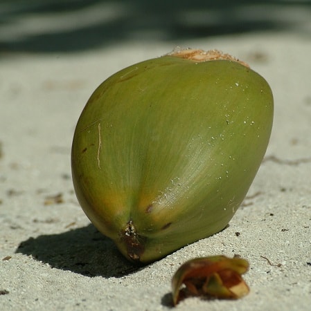
After a long and successful career in the hospitality industry, we have a good understanding of just how valuable fresh, unprocessed food can really be. Whether it is a five-star restaurant or your own kitchen table, fresh foods that are not processed, frozen or contain unhealthy stabilizers, offer tremendous health benefits. We have taken this very basic concept and expanded it to include 100% locally grown Cayman products. Our primary concentration are Coconuts products such as: Coconut oil, coconut yogurt, coconut vinegar, coconut flour etc.